Truracks Western Tow Bars And Bull Bars
BOOK YOUR CAR IN TODAY 02 4731 4680

Search

Close
My Cart

Your Shopping Cart Is Empty

You have no items in your shopping cart.
Let's go buy something!

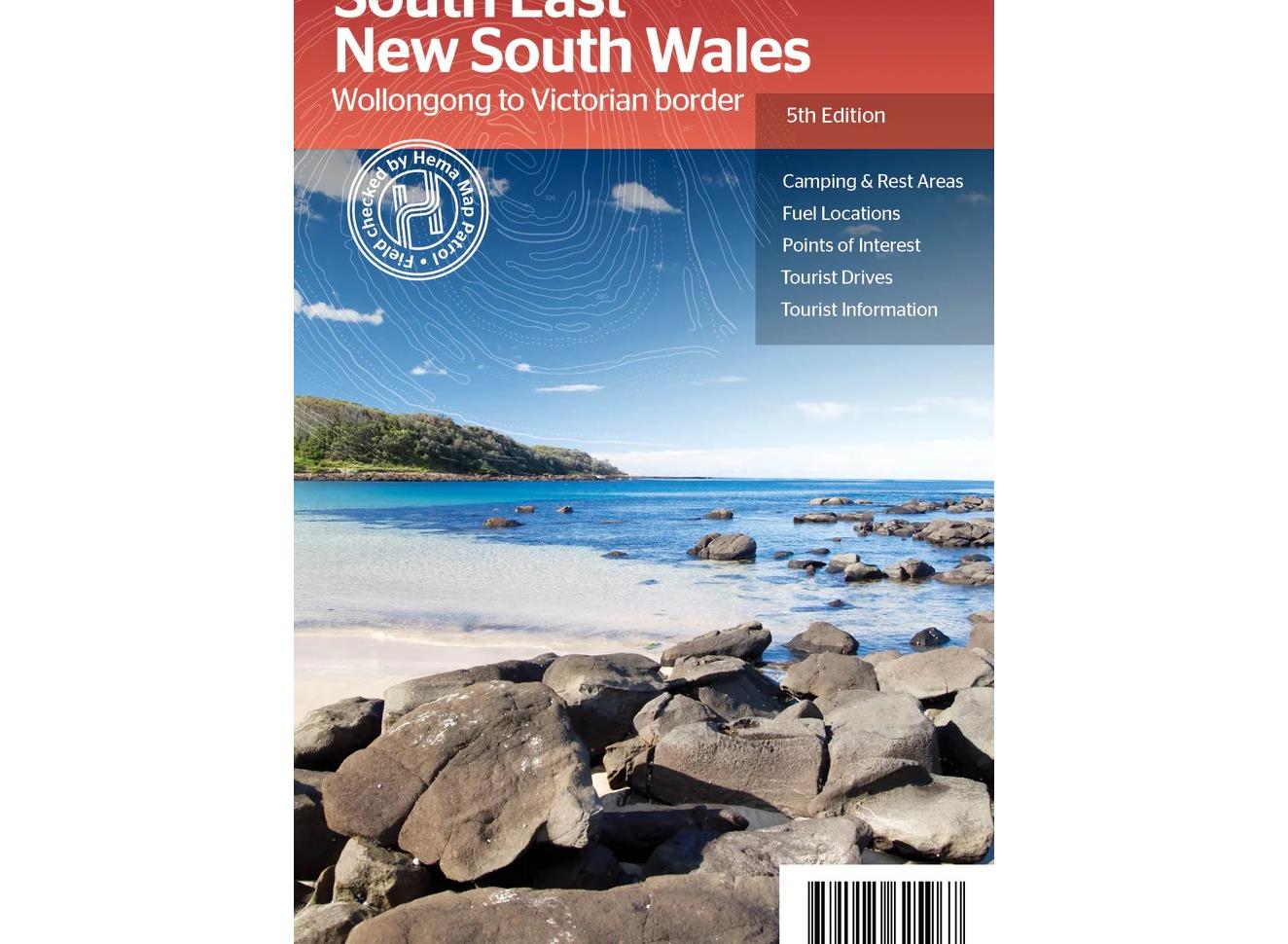
South East New South Wales Map Brand: Hema Maps Code: 9781925625967

South East New South Wales Map

$14.95 Brand: Hema Maps Code: 9781925625967
  • Description
  • Reviews
A regional map of South East New South Wales (1:385,000) that ranges from Wollongong down to the Victoria border and out to Gundagai and past Jindabyne in the West. Covered regions in the map include; Illawarra, Jervis Bay & Shoalhaven, Batemans Bay, Canberra & surrounds, Merimbula & Sapphire Coast, Southern Highlands, Goulburn Region and the Snowy Mountains. On the opposite side is extensive information on numerous regions, including visitor, historical and background information.  
 
Key Features
Comprehensive map of South East New South Wales
Camping & rest areas
Fuel locations
Tourist drives
Detailed National Park Listing with facilities
Tourist Information Centres
Be the first to review this product

Only registered users can write reviews.

Please, Login or Register to write a review.

You have reviewed this product.
ADD YOUR REVIEW
Characters Remaining: 1000
Truracks Western Towbars and Bullbars

We offer premium bull bars, roof racks, and camping gear at Truracks Western Towbars.

With the best selection of bull bars, roof racks, and towbars in Penrith, Sydney, Truracks Western Towbars & Bullbars is a leading provider of quality bull bars, roof racks, and heavy duty tow bars.

Read More